
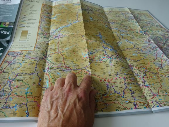
Goldeneye cycle maps in the Cycling Country Lanes & Traffic-free Family Routes series are high quality laminated maps. They show National Cycle Network routes, circular routes and traffic-free cycling trails, plus cycle-hire and tea shops!
We also stock Goldeneye Mountain Bike and Off-Road Bike maps.

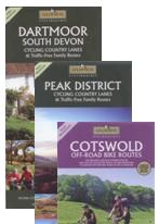
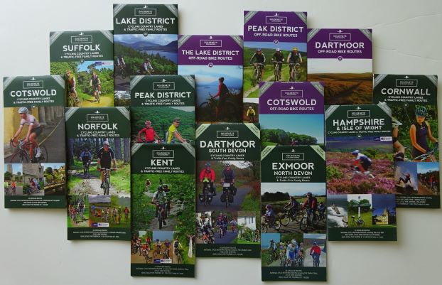
Areas covered are Devon including Dartmoor and Exmoor, the Cotswolds, Norfolk, Pembrokeshire and West Wales, the Lake District and the Peak District.
Many of Goldeneye’s out of print maps are currently being reissued with new designs and new routes. So far, these are hot off the press: Hampshire and the Isle of Wight, Suffolk, Cornwall. More are to follow.
Goldeneye have a passion for design and photography, and an expertise in mapping. The maps are printed on tough, water-resistant and tear-resistant paper.
Reviews of the Goldeneye cycle map range.
I really like these maps; they are rugged and will not fall apart if you are rained on! Other people seem to agree:
“Goldeneye series will be a boon… cartography is clear and detailed… the robust construction is a plus.” Cycling Today.
“Extremely clear, accurate and easy to follow… laminated surface is a real bonus.” CTC Magazine.
How to buy a Goldeneye map
Click here for the Goldeneye maps in the shop.
Or order your maps below. Click on each map for more details.
“Perhaps you need a better map – or, more accurately, you need the new collection of Country Lanes and Byways cycling guides from Goldeneye covering beauty spots from the Cotswolds to Cornwall, and carefully prepared to keep you on the bendy and narrow, rather than the fast and four-lane.”
Sunday Times Travel
