
You can find the Sustrans cycle maps in our shop by clicking here, although there are so many that to find a specific map or route, it might be easier to click on the map below instead, which will show you all the map options (Sustrans and other map producers). You should also bear in mind that many Sustrans maps are no longer available, and so alternatives might be needed.
Who are Sustrans?
Sustrans is a charitable trust who are allocated public money to create and maintain cycle routes across the country.
They have been doing this successfully for many years now and have created way-marked signage for thousands of miles of cycle routes, plus maintaining a large system of off-road cycleways. Volunteers help maintain local stretches of routes. They also have a commercial arm dealing with cycle gear and maps.
What are the ranges of cycle maps from Sustrans?
Sustrans are most well-known for their long-distance cycle route maps.
The long-distance maps work on a strip basis, showing the route with kilometre markers from the start. They show contours well and mark difficult junctions with main roads. Many of these are currently unavailable, unfortunately.
One of their first maps was the C2C cycle route from Whitehaven and Workington on the Irish Sea to Tynemouth and Sunderland on the North Sea (out of print – but see alternatives here).
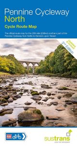
Sustrans had begun to extend the number of theses maps, eg with the Pennine Cycleway maps being recent additions, but Sustrans appear to have called a halt to that.
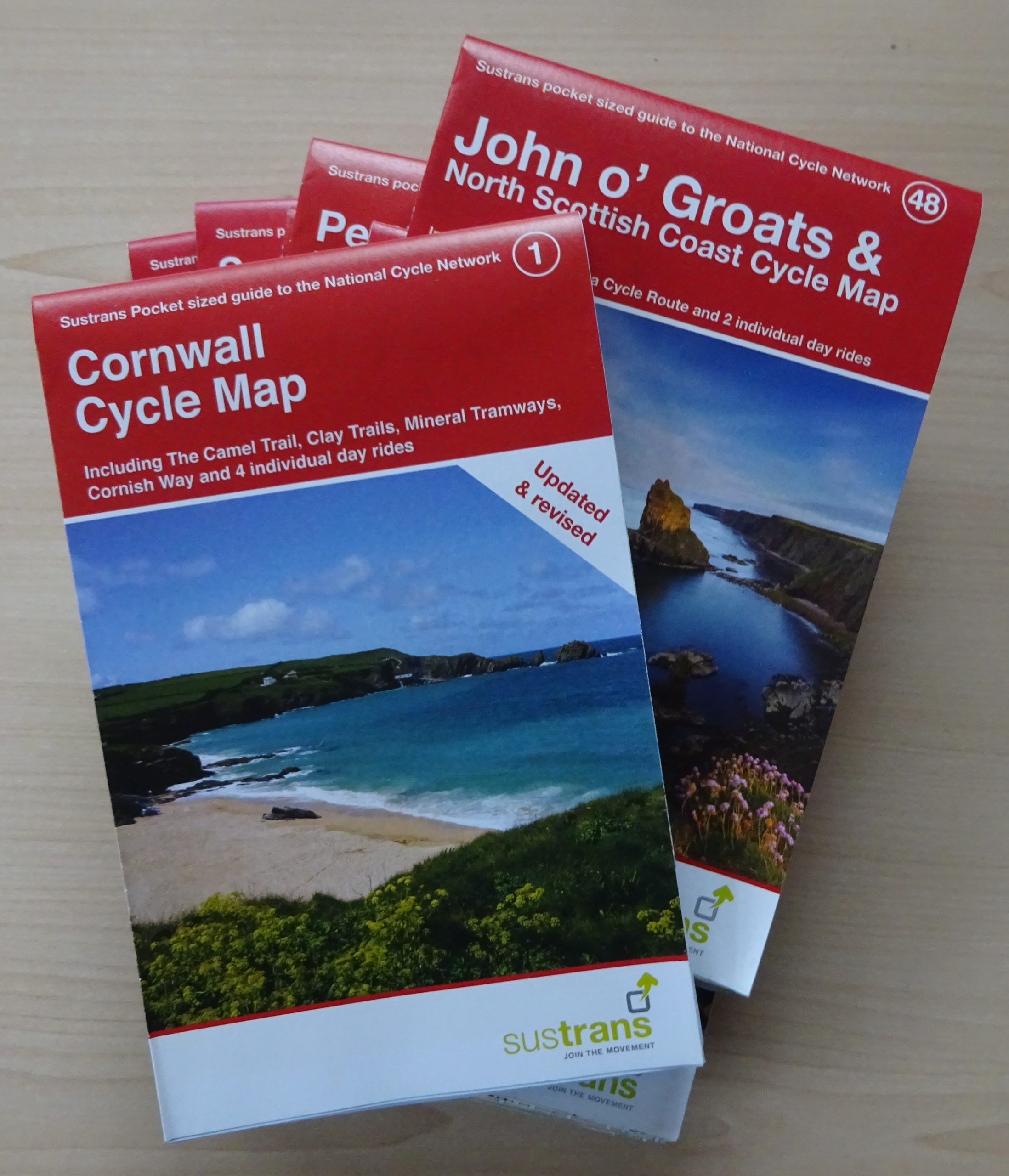
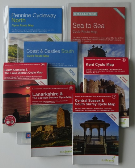
For the range of pocket-sized maps, search by area on the website, you should be able to find the ones that are still available, and alternatives if not.
Do Sustrans have maps for all the long-distance cycle routes?
No. For some reason, the excellent Reivers Route is not a Sustrans map (it’s a very good map and route though). Nor is the Scottish C2C, which can be followed with just the guide book – there is no separate map. The Trans Pennine Trail is also run by a separate organisation.
Supposing I want to look at other maps covering the same areas?
For popular tourist destinations or cycling areas, there are other options:
Goldeneye produce very good maps covering areas like Devon, Norfolk, Kent, the Peak District and the Cotswolds.
Harvey Maps don’t do many cycle maps, but the ones they do (Yorkshire Dales and Dartmoor) are very good.
Then there are the Ordnance Survey Tour maps. These are very large maps – a bit unwieldy really – but are good for touring. I have used them for tours of the Lake District and Devon.
If you have seen brown cycle route signs saying National Byway, these are again not linked to Sustrans, but are routes designed to link heritage sites.
There are also cycle guide books that can replace maps for set routes, eg produced by Cicerone (including the Yorkshire Dales, northern Scotland and the Western Isles, Wales and the Lake District).
Excellent Books (by author Richard Peace) produce guide books that can be used on their own as well, eg for the C2C, the Trans Pennine Trail and the Devon Coast to Coast cycle routes.
