
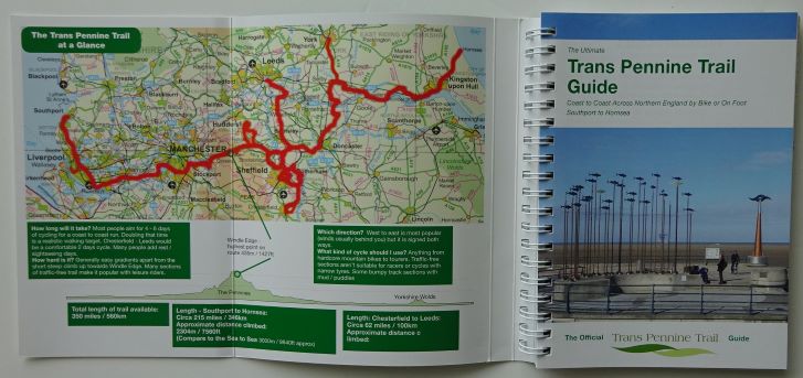
The Trans Pennine Trail maps and guide book are for the long-distance cycling, walking and horse-riding route starting in Southport in Lancashire and finishing at the North Sea in the East Riding of Yorkshire.
The Trans Pennine Trail (TPT) is a route for walkers, cyclists and horse riders. It passes through the Pennines, alongside rivers and canals and through some of the most historic towns and cities in the North of England.
The Trail from coast-to-coast between Southport and Hornsea is 215 miles (346km) long. The route then runs through or close to Liverpool, Manchester, Barnsley, Selby and Hull to the North Sea at Hornsea.
A north-south route connects Leeds and Chesterfield, with a spur to York and a spur to Kirkburton. So there are approximately 370 miles (595km) of Trans Pennine Trail available to explore.
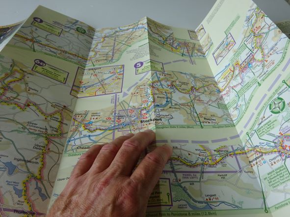
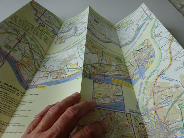
Three maps and a guide book cover the route.

The Trans Pennine Trail is mapped and signed all the way, mainly traffic free and is surprisingly level considering the dramatic scenery along the way.
Easy gradients and surfaced paths make many sections suitable for families, gentle exercise and people using wheelchairs and pushchairs.
So whether on foot, horse or cycle; for a day or longer; alone with friends and family – the Trans Pennine Trail (TPT) can offer something for everyone.
Click here to find the maps and guide book in the shop.
Or pop them in your basket below.
