Description
Cornwall Cycling Map from Goldeneye
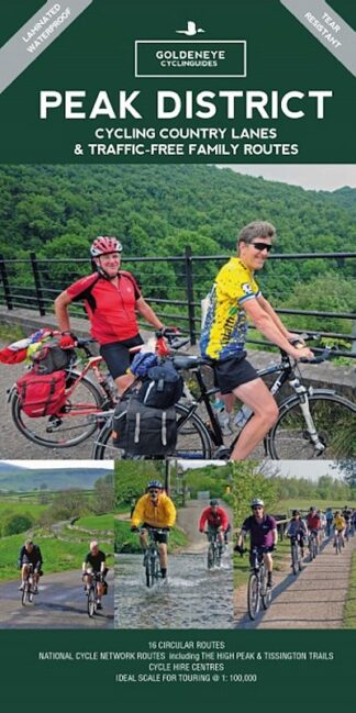
Cycling Country Lanes and Traffic-Free Cycle Routes
The Cornwall Cycling Map from Goldeneye covers circular cycling routes throughout Cornwall on quiet country lanes. The map also shows national cycle network routes and cycle hire centres.
The map’s purpose is to provide clear, easy to use and easy to follow, cycling maps, and to illustrate these in a comprehensive form:
a) Goldeneye commissioned circular routes in orange/yellow, and these are designed for the adventurous, and relatively fit cyclist
b) The Traffic-Free Family Cycling Trails (e.g. The Camel Trail) are best suited for young families, or those returning to cycling who wish for traffic-free paths and
c) The National Cycle Network (NCN) routes (e.g. The Cornish Way).
The NCN routes generally use quiet country roads but there are exceptions where it uses off-road sections. The circular routes are, in the main, on tarmac roads. The Cycling Trails are also constructed of tarmac built on previous miner’s tracks or railway lines.

New for this map are the Mineral Tramways and Mining Trails cycle routes:

The map is in the “Cycling Country Lanes and Traffic-Free Family Routes” series:
• Matt Laminated for Foul-Weather Protection
• Ideal Scale for Touring @ 1:126,720 (2 miles to 1 inch)
• 21 Circular Routes Overprinted on Map
• National Cycle Network Routes illustrated: The Cornish Way, The Camel Trail, NCN 3 and NCN 32.
• The Mineral Tramways Trails feature: Coast to Coast Trail, Great Flat Lode Trail, Tehidy Trail, Portreath Branchline Trail, Redruth & Chasewater Railway Trail, Treseavean Trail.
• Traffic-Free Family Routes feature these cycle paths: Bugle to the Eden Project, Camel Trail, Cardinham Woods, Goss Moor Multi-Use Trail, Par Beach to St Blazey, Pentewan Trail and the Wheal Martyn to the Eden Project.

Goldeneye Cornwall Cycling Map
Publisher: Goldeneye Guides
Binding: Sheet map (folded)
Weight: 60g
Publishing date: 2021