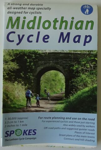
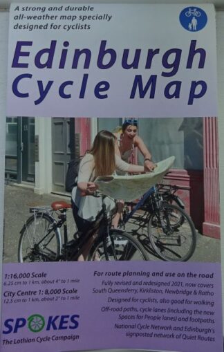
Description
West Lothian Cycle Map
by Spokes, the Lothian Cycle Campaign
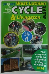
The West Lothian Cycle Map from Spokes is a highly detailed map showing off-road paths and cycle lanes in West Lothian, including Linlithgow, Broxburn, Bathgate, Livingston and Whitburn and other areas west of Edinburgh.
The main map is 2″ to the mile (1:30,000), while on the reverse is a street map of Livingston.
The map includes National Cycle Network routes.
The map is printed on tear-proof and water-resistant recyclable polyethylene.
West Lothian Cycle Map
- Published by Spokes, the Lothian Cycle Campaign
- Updated 2018